
Exploring Arizona Series
“A guide to Arizona’s scenic, historic, and backcountry routes for the traveling adventurer”
Series Overview
Arizona has a way of hiding its best roads in plain sight. They appear on the map as thin lines between the places you are trying to reach, easy to pass over in favor of something faster, more familiar, or better known. But those thin lines are often where the state reveals itself: old wagon routes that still carry the shape of the land they crossed, turns that open into landscapes most riders never see, connectors that become the ride rather than just the way between rides. A road can move you through several ecological zones in an afternoon, drop into canyon country that feels untouched, or follow a path that miners, ranchers, and native peoples traveled long before the pavement arrived. The map gives you the line. It does not tell you what the road actually feels like from the saddle, or what you will find when you take it.
This five-part series is for the rider already in motion across Arizona, who has seen a road branching off and wondered whether it was worth the risk of the unknown. Whether that turn leads somewhere worth taking, whether the surface holds, whether the route actually goes through.
Not every road between is technical or remote, but not knowing which is which keeps most of us on the main line. These routes are approachable on street-oriented adventure tires, each one works as a legitimate through route, and each one gives you more of Arizona than the road you would have taken instead. Some follow old wagon roads still visible in the landscape. Some pass through places that shaped the state in ways the highway never will. The hardest part is usually just knowing the turn is there.
Part 1
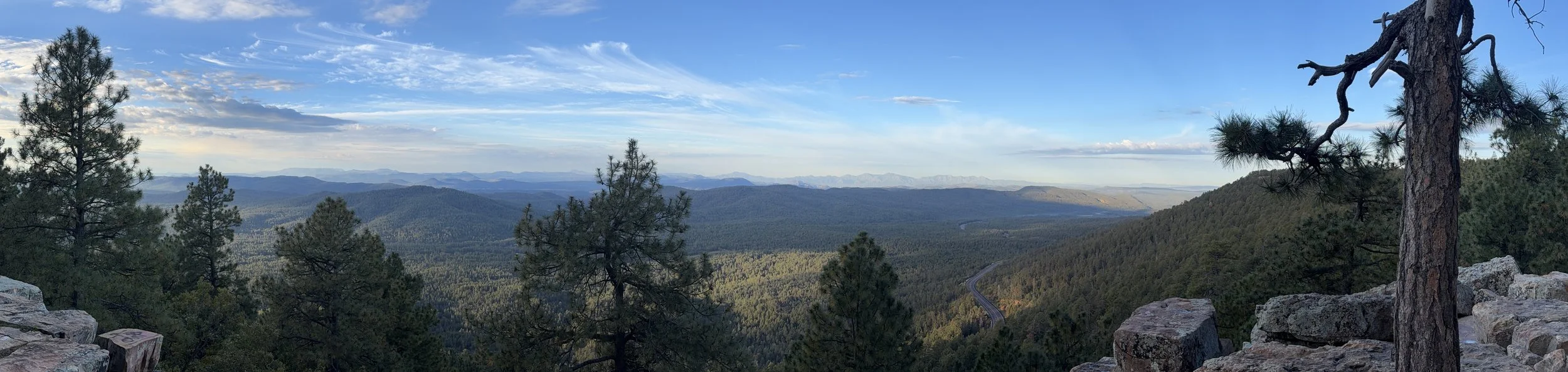
Desert to Tall Pines Scenic Byway
We begin with the Desert to Tall Pines Scenic Byway, shared with AZ-288, a 74-mile through route connecting SR-260 near Forest Lakes with SR-188 near Roosevelt Lake. It passes through Tonto National Forest country, threads between wilderness areas, crosses the remote community of Young, and eventually drops toward the Salt River. It is one of Arizona’s best examples of what this series is about.

ADV Rider Magazine
Article Link
Published Date
06/12/2026
Part 2
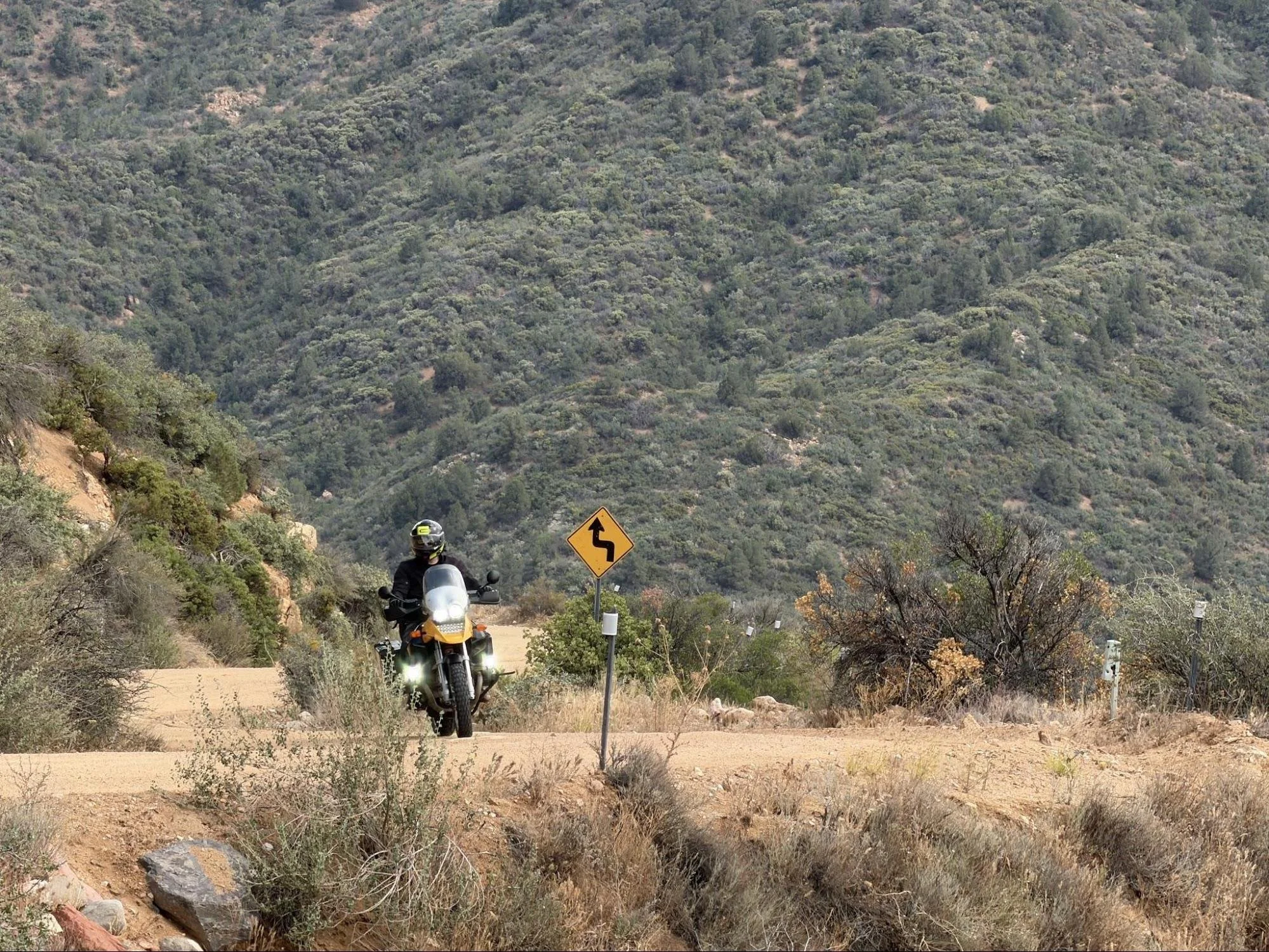
W Cherry Creek Road
The second road in our series, W Cherry Creek Road (Explore Arizona Series Map), doesn’t carry the same physical weight as the first. It doesn’t show you how Arizona transforms in front of your eyes. The road is more subtle, more distant, but it showcases the surrounding area in ways the main road doesn’t. This road has been connecting people and places since the late 19th century.
ADV Rider Magazine
Article Link
Published Date
08/26/2026
Part 3
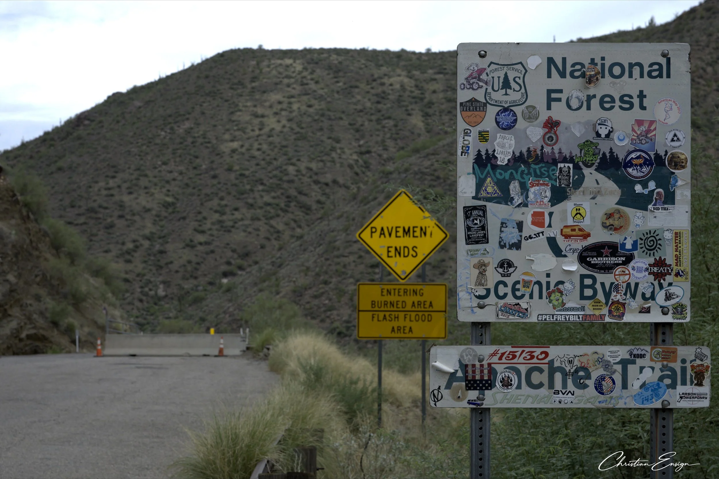
Apache Trail Historic Road
The third road in our series, Apache Trail Historic Road (Explore Arizona Series Map). This road cuts through the heart of Superstition Wilderness and loosely follows the Salt River. This road connects the sprawling urban jungle of Apache Junction with the wilderness along SR-188 and Roosevelt Lake. This road demands to be ridden.
ADV Rider Magazine
Article Link
Published Date
10/26/2026
Part 4
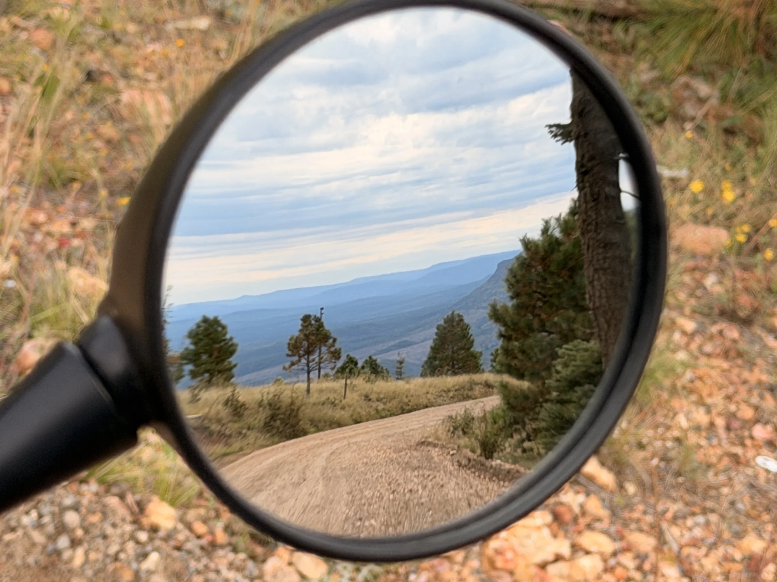
Rim Road (Forest Road 300)
The fourth road in our series, Rim Road or FR-300 (Explore Arizona Series Map). This road connects SR-260 and SR-87. The road flows alongside the edge of the Mogollon Rim, a 74 mile rock formation where the Colorado Plateau drops into the desert below. We explore the history of the road, the area, and how it connects to major highways.
ADV Rider Magazine
Article Link
Published Date
Pending Publication